
Play Construtech Drones
Drones that clean, paint, inspect and monitor — from job site to forest
An AI-guided aerial fleet for façades, construction sites, forest reserves, industrial operations and pipelines. Fewer scaffolds, less risk, more data.
Request an assessmentDrones that wash and paint building façades
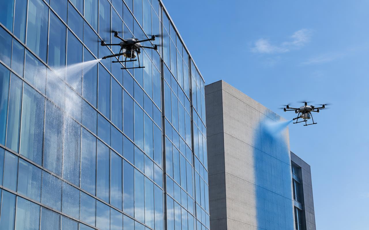
Washing, pressure cleaning and painting of façades at height with no scaffolding, gondolas or rope access. The drone is tethered to a ground unit and flies routes planned from the building's 3D model.
Up to 5x
faster than gondolas
0
people at height
−30%
paint consumption
Zero work at height
Removes the leading cause of fatal accidents in building maintenance.
No scaffolds or gondolas
Mobilize in hours, without blocking sidewalks for weeks.
Uniform coating
Sensor-controlled spraying keeps thickness constant and cuts paint waste.
Eco-efficient washing
Treated water and biodegradable detergents, with consumption logged per sqm.
3D-model routing
A pre-scan of the façade sets passes, windows and exclusion zones.
Before/after report
Geotagged imagery of every pass delivered to the building manager.
Construction sites
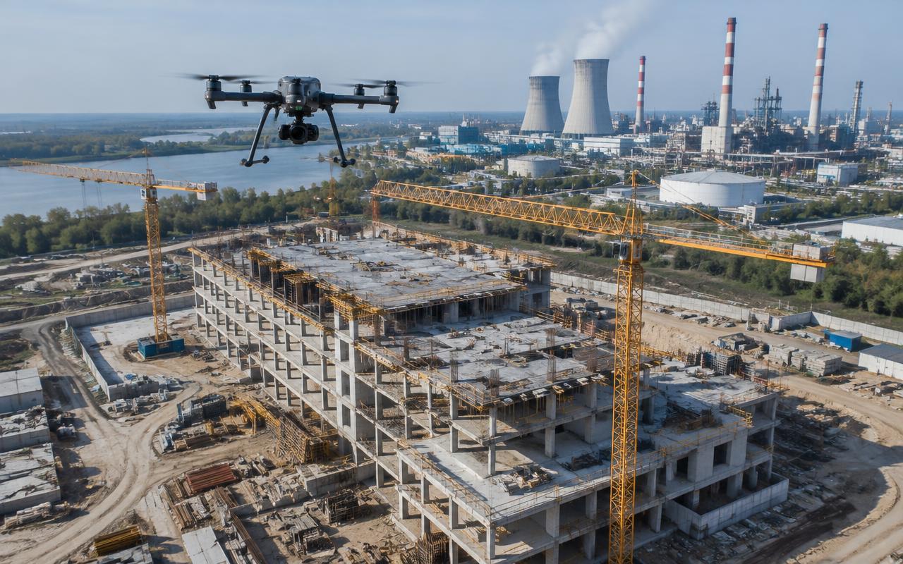
The job site seen from above, every day
Scheduled flights produce orthomosaics, point clouds and 3D models compared against BIM.
Survey and volumes
Cut, fill and stockpiles measured in minutes.
Progress vs BIM
AI flags execution deviations before they become rework.
Safety
Detects missing edge protection and fall hazards.
Client reporting
Imagery fed live into the project dashboard.
Forest reserve monitoring
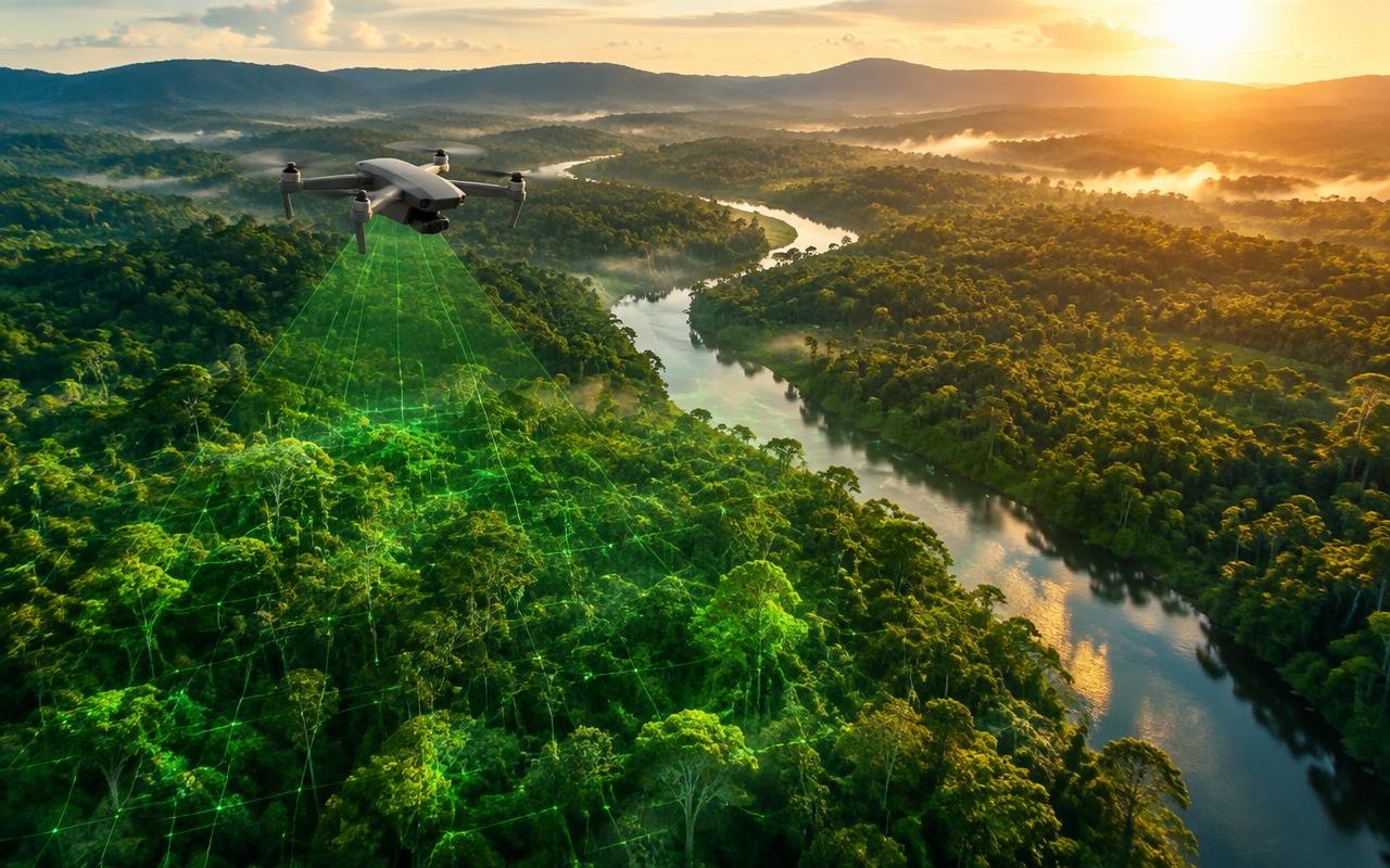
Drones with multispectral sensors and LiDAR turn forests into auditable data — the foundation for corporate ESG reporting, carbon credits and environmental offsets.
Carbon stock
LiDAR biomass estimates for inventories and carbon credits (MRV).
Deforestation and encroachment
Periodic comparison detects illegal clearing and invasions.
Fire hotspots
Thermal cameras spot hot points before fire spreads.
Biodiversity and springs
Mapping of protected areas, waterways and vegetation health.
Reforestation
Tracking of planting and seedling survival rates.
Audit-ready evidence
Geotagged data ready for sustainability reports.
Industrial operations
Industrial inspection without shutting the plant
Stacks, tanks, roofs, steel structures and confined spaces inspected while operations continue.
Thermography
Electrical faults and heat losses visible in one flight.
Confined spaces
Caged drones enter tanks and boilers.
Corrosion and cracks
High-resolution zoom cameras for detailed visual inspection.
Digital twin
Inspection history for predictive maintenance.
Pipeline inspection
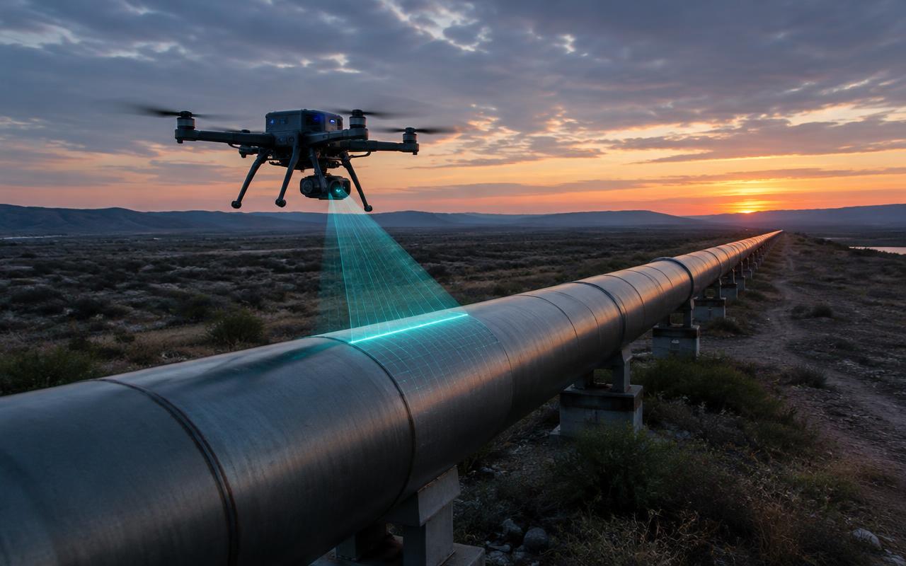
Oil, gas, water and industrial lines inspected by drones with LiDAR, thermography and laser gas detection — with AI that classifies anomalies automatically.
Laser gas detection (TDLAS)
Finds methane leaks remotely, without contact.
LiDAR and photogrammetry
Right-of-way, deformation and erosion measured to the centimeter.
Radiometric thermography
Leaks and insulation failures revealed by temperature.
Anomaly AI
Corrosion, encroachment and vegetation classified automatically.
BVLOS flight
Dozens of km per mission on fixed, repeatable routes.
GIS integration
Geotagged findings pushed straight to the maintenance system.
| Criterion | Conventional method | Play Construtech drones |
|---|---|---|
| Daily coverage | 5–10 km on foot or by vehicle | 50–100 km per crew |
| Crew risk | Remote areas, height, gas | Crew on the ground, at a distance |
| Accuracy | Subjective visual check | Measured, geotagged data |
| Leak detection | After damage is visible | Early, by laser and thermal |
| Cost per km | High (helicopter, crews) | Up to 70% lower |
| History | Paper reports | Comparable digital twin |
Bring Play Construtech drones to your operation
Talk to our engineering team and get a tailored flight plan and proposal.
Chat on WhatsApp